
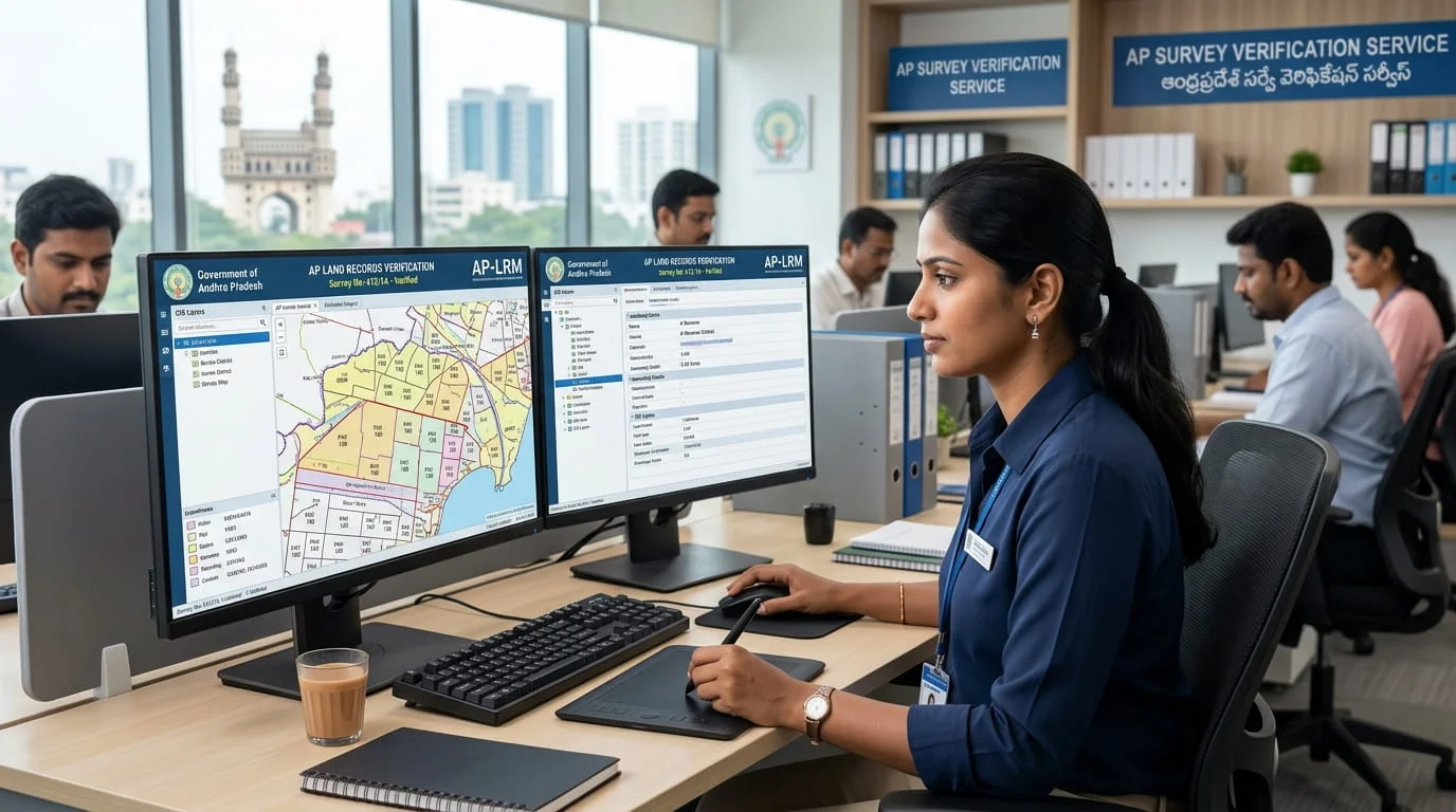
An official field survey (LRM) to fix boundaries and extent on the record. When boundaries or extent are in doubt — before purchase, fencing or a dispute — a Land Records Management (LRM) field survey re-measures the parcel and updates the record. NOS arranges the official survey and sees the corrected result into the records.
Understand the service
What is a field survey verification?
This is the on-the-ground survey — a licensed surveyor physically measures your parcel, marks the boundaries, and checks them against the Field Measurement Book (FMB) and village map, using ETS / DGPS instruments where needed. It is different from a records-only check: it tells you where your land actually is and whether the boundaries on the ground match the record. Clean, accessible parcels are fixed-price and quick; disputes, encroachment, difficult access or missing records get a proper assessment first.
How it works on the ground
The government process is scattered across portals, offices and paperwork. NOS turns it into one guided flow.
The reality on the ground
What you face today in TG & AP
Requires a formal request to the mandal surveyor with fee and correct survey / sub-division numbers.
Neighbour objections and old, inaccurate FMBs complicate the measurement.
The result must then flow into ROR, LPM and the passbook to be useful.
Scheduling and attending a field survey is impossible for remote owners.
The NOS way
One guided flow — fully remote
01Instant online assessment
Answer a short questionnaire and see your case category, red flags, price estimate and timeline — before you pay anything.
02Built for both states, every land type
TG / AP rule-packs apply the exact process, documents and fees automatically.
03A dedicated case manager
Matched to your region and language — plus expert review for complex or high-risk cases.
04Secure document vault
A dynamic checklist per case; we arrange drafting, attestation and apostille so you never have to fly down.
05Transparent quote, secure payment
Pay online (INR, NRI cards & UPI) — no Demand Drafts, no counter queues.
06We file and see it through
Government submission handled for you, with live status, SLA-backed timelines & escalation, and in-app messaging — ending in your verified document.
one flow, tracked end to end
Step 01 of 06
Instant online assessment
Answer a short questionnaire and see your case category, red flags, price estimate and timeline — before you pay anything.
one flow, tracked end to end
Know before you pay
Free viability check with your category & price estimate up front — no surprises.
One case manager
A single point of contact, matched to your region & language, start to finish.
Truly remote
Drafting, attestation, payment & government filing handled — zero counter visits.
What we handle
How it works
- 01Step 1
Free feasibility check
Tell us the parcel and what you need. A clean, identified, accessible plot is the fixed-price fast lane; disputes or access issues get a proper assessment first.
- 02Step 2
Case Manager assigned
A dedicated Case Manager is assigned and you can message them right away — before you pay.
- 03Step 3
Licensed surveyor visits
A licensed surveyor / field executive measures and demarcates the parcel on the ground — coordinating access, neighbour notice and any FMB retrieval.
- 04Step 4
Report delivered
DeliveredYou get a measurement report with GPS coordinates and photographs in your dashboard — plus a certified printed copy by courier if you want it.
What you'll typically need
- The parcel — survey / sub-division number, passbook / Bhudhaar, or accurate GPS
- Which survey you need — boundary demarcation, measurement, FMB, ETS / DGPS…
- Site access — is it accessible, locked, occupied, or under standing crop?
- Any FMB copy, village map, RoR or previous survey report you already hold
Can't locate the survey number, or the site is locked / disputed? Say so honestly in the questionnaire — your Case Manager will sort out identification and access before any survey is scheduled or charged.
Made for NRIs. No trips home. No local runaround. No language barrier. Manage the entire process from your phone, in your own timezone — while NOS handles the counters, the paperwork and the follow-ups.
Ready to start?
The feasibility check takes about two minutes and is completely free.
Start Survey Verification (LRM)