
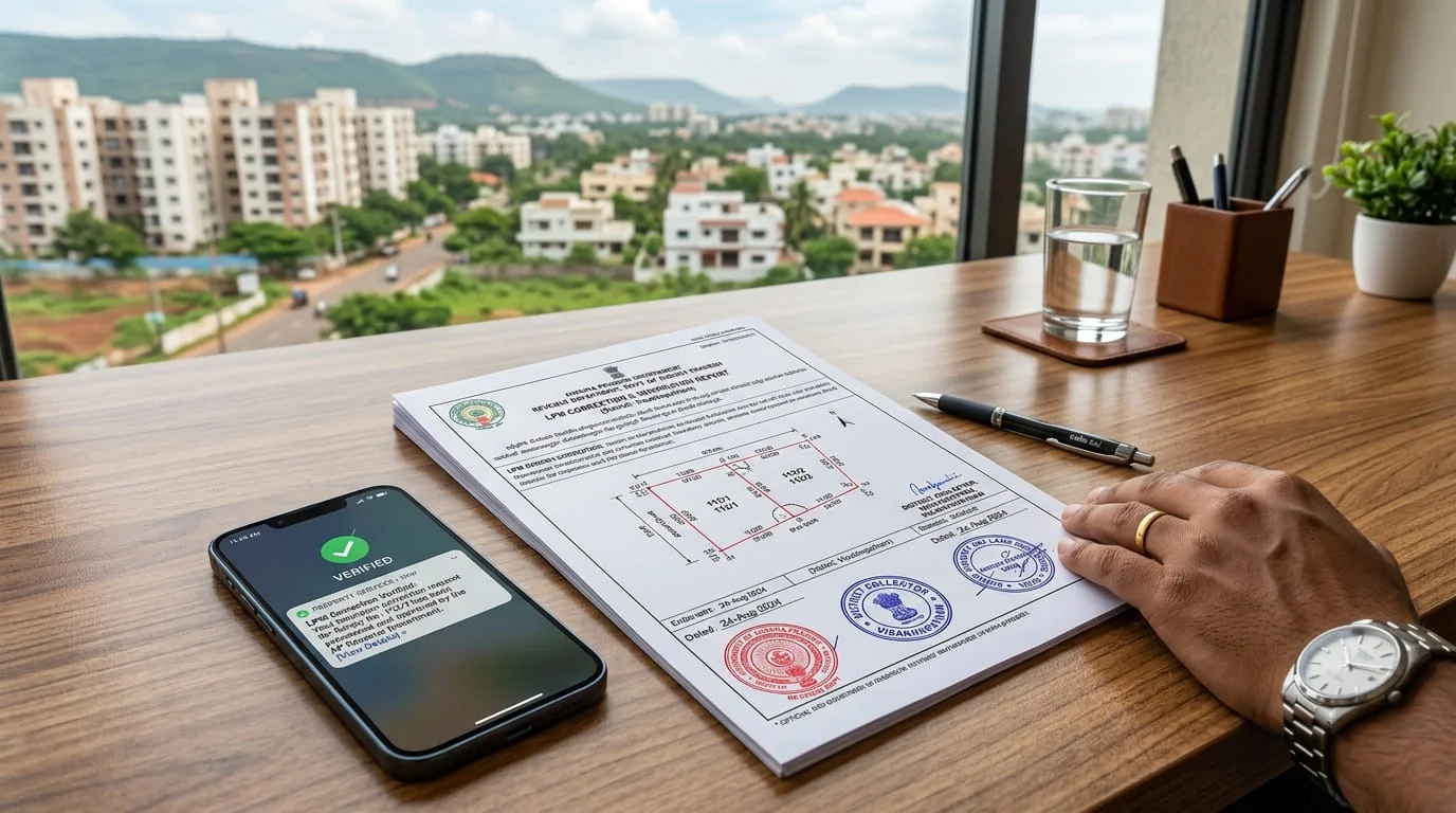
Fix extent and parcel-map errors thrown up by the state land resurvey. The ongoing resurvey issues new Land Parcel Maps (LPM) — and often new errors: shifted boundaries, wrong extent, split or merged parcels. Left uncorrected, they corrupt your title and block sale. NOS files the technical correction with the survey and revenue authorities.
Understand the service
What we can help with
After a resurvey, the Land Parcel Map (LPM) and the FMB sketch become the authoritative geometry. When they conflict with your records — a boundary or extent mismatch, a wrong survey number or sub-division, a GIS / LPM / FMB error, or a mutation that never reflected — the record needs correcting. A clean, record-only correction on a resolved parcel with complete documents and a single authority is straightforward and fixed-price. Others take more work: a field or joint survey, an overlapping or missing parcel, multiple authorities, or an NRI owner. Encroachment, boundary disputes, court-order implementation, multiple claimants and government-land conflicts are handled by a licensed surveyor and legal expert; if a correction isn't legally permissible or a prohibitory order is in force, we'll tell you honestly. Statutory survey fees are passed through at cost.
How it works on the ground
The government process is scattered across portals, offices and paperwork. NOS turns it into one guided flow.
The reality on the ground
What you face today in TG & AP
New LPMs may not match the old FMB or your actual possession — extent can increase or shrink on paper.
Correction needs a survey re-verification (LRM), objections within timelines, and revenue sign-off.
Errors ripple into ROR, passbook and mutation until fixed at source.
The field-survey and objection process is impossible to run remotely.
The NOS way
One guided flow — fully remote
01Instant online assessment
Answer a short questionnaire and see your case category, red flags, price estimate and timeline — before you pay anything.
02Built for both states, every land type
TG / AP rule-packs apply the exact process, documents and fees automatically.
03A dedicated case manager
Matched to your region and language — plus expert review for complex or high-risk cases.
04Secure document vault
A dynamic checklist per case; we arrange drafting, attestation and apostille so you never have to fly down.
05Transparent quote, secure payment
Pay online (INR, NRI cards & UPI) — no Demand Drafts, no counter queues.
06We file and see it through
Government submission handled for you, with live status, SLA-backed timelines & escalation, and in-app messaging — ending in your verified document.
one flow, tracked end to end
Step 01 of 06
Instant online assessment
Answer a short questionnaire and see your case category, red flags, price estimate and timeline — before you pay anything.
one flow, tracked end to end
Know before you pay
Free viability check with your category & price estimate up front — no surprises.
One case manager
A single point of contact, matched to your region & language, start to finish.
Truly remote
Drafting, attestation, payment & government filing handled — zero counter visits.
What we handle
How it works
- 01Step 1
Tell us the parcel
A short questionnaire — the survey number or ULPIN, what's wrong (extent, boundary, LPM, FMB…) and the records you hold. A clean record correction on a resolved parcel is quick and fixed-price.
- 02Step 2
Case Manager assigned
A dedicated Case Manager is assigned and you can message them before you pay. Field or joint surveys, multi-authority cases and NRI owners get a clear plan and quotation first.
- 03Step 3
We survey & correct the record
We reconcile the deed extent against the resurvey LPM, engage a licensed surveyor for a field or joint survey where a boundary may move, serve the statutory neighbour notice, and file the correction with Survey & Revenue (Bhu Bharati / MeeBhoomi).
- 04Step 4
Corrected & tracked
DeliveredThe corrected parcel record / LPM is delivered and tracked in your dashboard, with an expert surveyor or advocate looped in where a dispute or court order is involved.
What you'll typically need
- The survey number / sub-division or ULPIN / Bhudhaar (or even just the village — we can look it up)
- The recorded extent and boundaries, and what the resurvey / LPM shows differently
- Your records — ROR / 1-B / Pahani, Pattadar passbook, FMB sketch, existing LPM, deed
- Whether a neighbour's boundary is affected (that triggers a joint survey and notice)
Not sure of the survey number or exactly what changed? That's fine — share what you have and your Case Manager will pull the LPM and tell you what the correction involves.
Made for NRIs. No trips home. No local runaround. No language barrier. Manage the entire process from your phone, in your own timezone — while NOS handles the counters, the paperwork and the follow-ups.
Ready to start?
The feasibility check takes about two minutes and is completely free.
Start Resurvey / LPM Correction